3D Modeling of Mountain Village

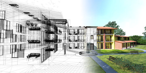
The Town of Mountain Village provides a free three-dimensional (3D) model of the Mountain Village Center, that can be viewed in Google Earth and available in SketchUp formats for community use.
The Village Center is our primary commercial, pedestrian, accommodations and area of gondola connection between the Town of Telluride and Town of Mountain Village. Consistent with the Mountain Village Comprehensive Plan, we envision our municipal services as friendly and customer service oriented. Providing a free SketchUp model is a useful tool for architects, developers, community members, and planners.
This project is in collaboration with the Telluride Mountain Village Owners Association (TMVOA). The SketchUp model was produced by Oz Architecture.
Notice to all users
The point cloud viewer is to be used for general mass, scale and context. The most useful query is a 3D measurement that gives heights, horizontal and slope distances between picked points. The point cloud can be viewed in 2D or 3D. The point cloud is not intended to replace the professional requirement of hiring a land surveyor or the requirements of the Community Development Code.
Background
The Town of Mountain Village is working with Google, Inc. to have the Town of Mountain Village virtually scanned and placed in Google Earth Pro. This will allow for broader audiences to see our town from a bird’s eye view, and take pedestrian tours through certain parts of the Village Center. This service will demonstrate the exceptional high-alpine character that the Town of Mountain Village has to offer. 3D modeling is an ever-evolving technology so please check back for future updates!
For questions about the models please our department.